Contact our sales team for the latest BDT price, base/rover package options, and delivery timeline.
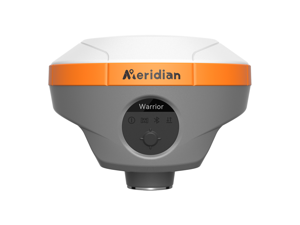
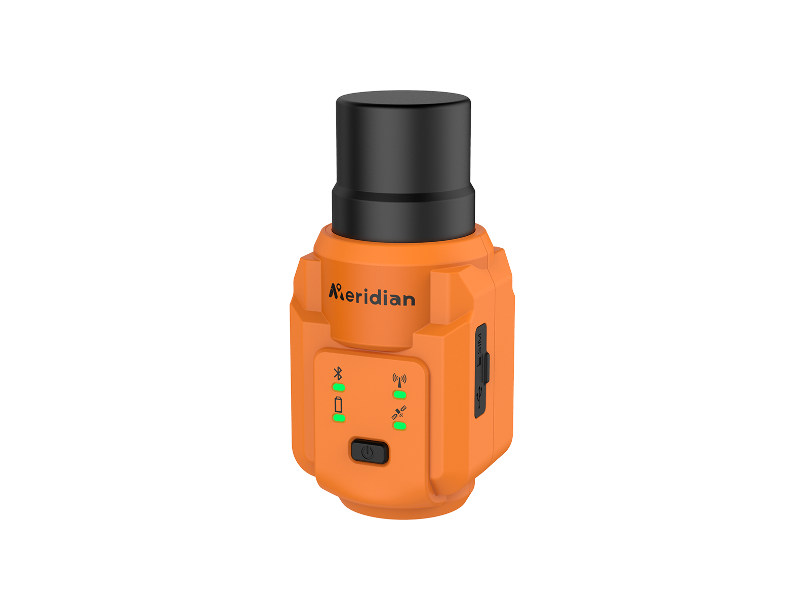
M3Plus GNSS receiver features an ultra-light-weight, compact design combined with a full-frequency antenna, advanced multi-channel RTK engine, built-in 2W UHF radio, and advanced IMU.
Supporting both CORS and radio RTK modes, it enables fast setup, intuitive
operation, and efficient fieldwork, delivering accurate and reliable positioning with exceptional portability and ease of use
M3Plus provides an excellent onboard real-time navigation solution with high accuracy. Multi-satellite signals (GPS, GLONASS, BEIDOU, GALILEO, QZSS, IRNSS, L-Band) are included.
Equipped with calibration-free lMU technology in small body, brings you to focus on your surroundings and not the bubble to measure the points that previously could not be measured, making your stake out more efficiently.
With a lightweight built-in 2W radio powered by the MeridianLink protocol, M3Plus supports a working range of up to 10 km, providing reliable RTK communication while maintaining a compact, portable, and easy-to-carry design—ideal for efficient everyday field operations.
Designed for versatility, the M3 supports armband, pocket, and pole-mounted use for effortless and efficient fieldwork.
Embedded with a high precision GNSS module, the M3plus supports centimeter-level CORS & Radio differential data positioning.
| Channel | 1408 |
| BDS | B1I,B2I,B3I,B1C,B2a,B2b* |
| GPS | L1 C/A,L1C*,L2P(Y),L2C,L5 |
| GLONASS | L1,L2,L3* |
| GALILEO | E1,E5a,E5b,E6* |
| QZSS | L1C/A, L1C, L2C, L5, L6* |
| SBAS | L1, L5* |
| NavIC(IRNSS)* | L5 |
| L-band | B2b PPP (Only for the Asian-Pacific Region)& HAS* |
| Data Format | CMR, CMR+, RTCM2.X, RTCM3.X |
| Data Updating Rate | Up to 20Hz |
| Initialization Time | ≤5 Seconds (Typical) |
| Cold Start | ≤30 Seconds |
| Hot Start | ≤3 Seconds |
| Single Point Positioning (RMS) | Horizontal: 1.5m | Vertical: 2.5m |
| DGPS (RMS) | Horizontal: 0.4m | Vertical: 0.8m |
| Real-Time Kinematic (RMS) | Horizontal: ±(8mm+1×1ppm) |
| Speed Accuracy (RMS) | 0.03m/s |
| Tilt Compensation Accuracy (Up to 120°) | ≤1.5cm(Tilt Angle≤30°) |
| Bluetooth | BluetoothV4.0 |
| Indicator | Power Indicator x1 |
| Internal Radio(Optional) | Transmitting Power: 2W(33±1dBm) 1W(30±1dBm) |
| Frequency | 410-470MHz |
| Protocol | SOUTH, TRIMTALK 450S, TRIMMK III, TRANSEOT, SATEL, MERIDIANLINK |
| Air Baud Rate | 9600,19200,11000 |
| Cellular(Optional) | Category: LTE Cat 1 bis |
| LTE-FDD | B1/3/5/7/8/20/28 |
| Specifications | 7.4V/2500 mAh lithium-ion Rechargeable Battery |
| Operating Times | RTK Rover: Up to 10 hours (Typical Power Consumption) |
| Operating Temperature | -20°C~+75°C |
| Storage Temperature | -40°C~+85°C |
| Anti-seismic | 1.6m Pole Drop Onto Concrete |
| Dust & Waterproof | IP67 |
| Humidity | 95% No Condensation |
| I/O Interface | Type-C& Power Button |
| Dimensions | 54×59×127mm |
| Weight | ≤300g |
* Specifications may vary by configuration. Please confirm with our team before ordering.
Contact our technical survey engineers in Dhaka. We provide full warranty, local spare parts, and training for all equipment.