+88 01716 305763

globalsc.bd@gmail.com

  • Photo-realistic 3D Model
  • We ensure PRECISION
  • Experienced and Adept Surveyors
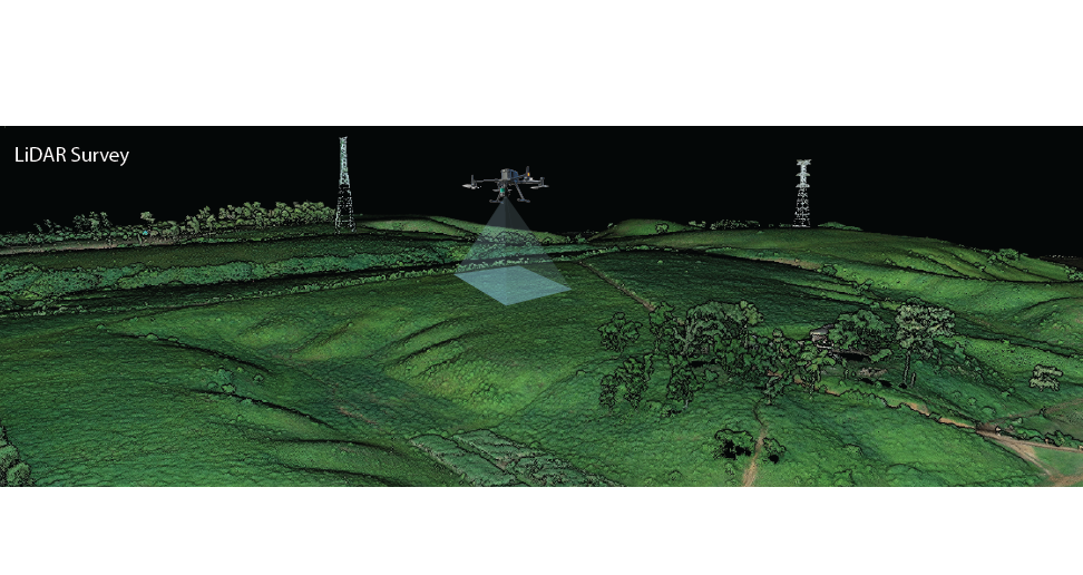
  • LiDAR Survey
  • CUTTING EDGE TECHNOLOGIES

"KEY SERVICES"


• Digital Topographic Survey using latest equipment and technologies in all over Bangladesh

• Survey with Advanced GNSS Receiver (RTK GPS) in whole Bangladesh

• GIS Mapping

• Preparation of Layout Plan of Residential Area (Housing), Industrial Park

• Stereo Photogrammetry

• Bathymetric Survey

• Soil Test

Welcome To Global Survey Consultants


Global Survey Consultants (GSC) has been established in the capital city of Bangladesh to promote informed development, which is socially and environmentally responsive, in collaboration with different public and private sectors, through providing quality services in the field of Urban and Regional Planning, Modern Surveying, GIS Mapping, Remote Sensing including Stereo Photogrammetry, Soil Investigation and in different Studies and Research.


To earn utmost reputation in home and abroad as a consulting and service providing organization on the basis of quality service provision.


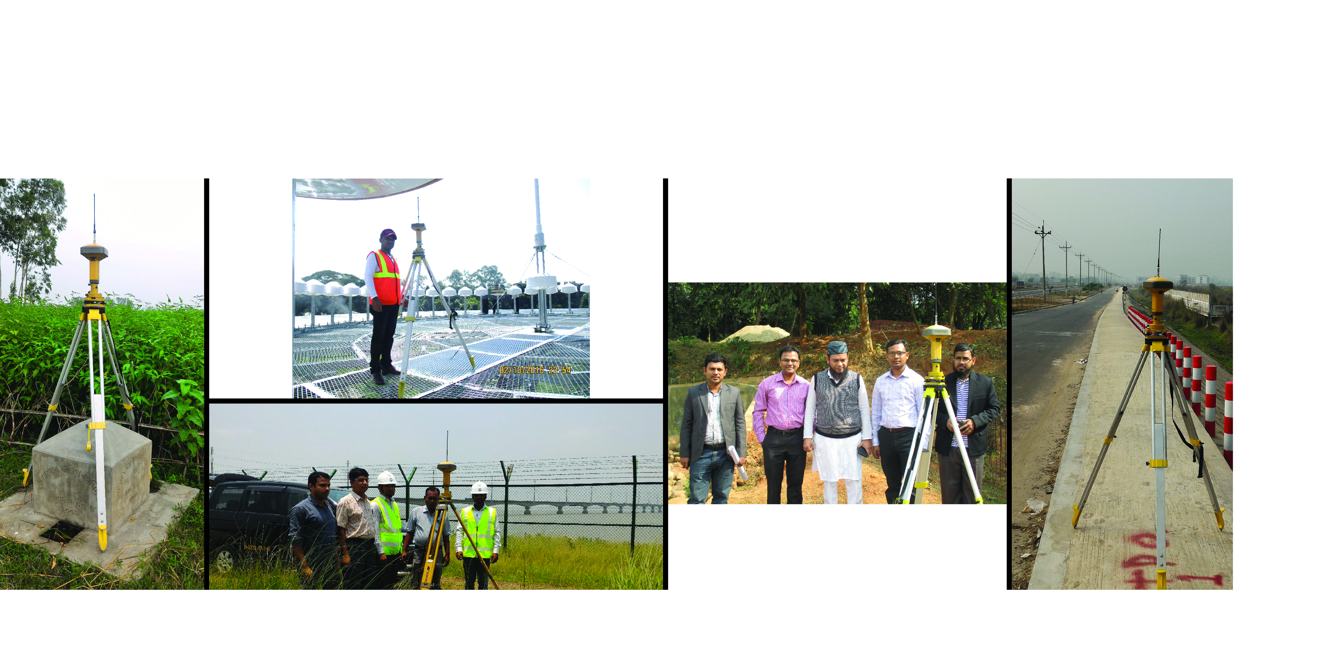
Photo Gallery


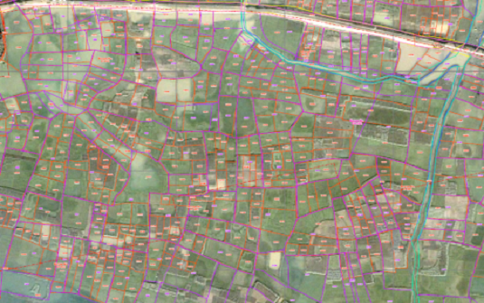
  • "Referencing of Mauza Maps on Ortho Rectified Satellite Image"

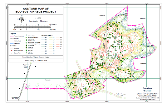
  • "Ographic Map with Contour of Eco-Sustainable Project"

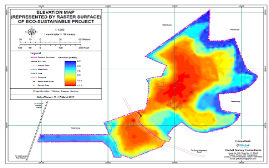
  • Raster Surface of Eco-Sustainable Project

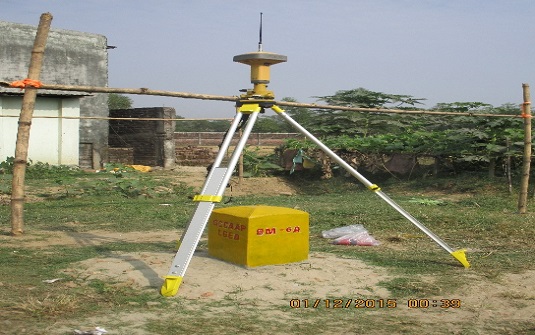
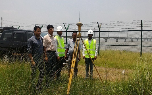
  • GNSS Observation on BM Pillar in GCCAAP Project

  • evel Fly from SoB Pillar in CDA Project

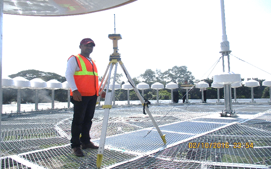
  • ations and Orientation Survey for DVOR / DME

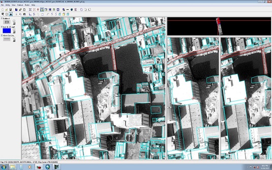
  • Stereo Photogrammetry in Erdas Imagine Platform

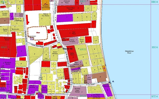
  • GIS based Physical Feature Map

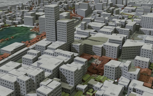
  • Visualization of Physical Feature Survey Data

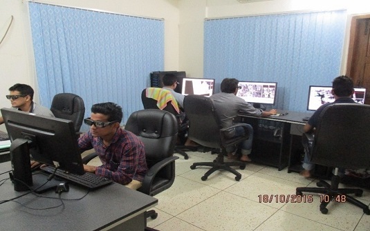
  • Working with Workstation and 3D Vision Kit in Stereo Photogrammetry

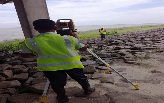
  • Use of High Accuracy Total Station in Bangabandhu Railway Bridge Construction Project

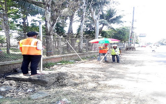
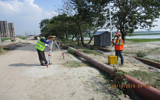
  • Level Survey of Digital Level

  • """""GNSS Observation of Bangabandhu Raiway Bridge Construc

AREA OF OPERATIONS


services images

SURVEYING

Our experienced and adept surveyors are well acquainted with the arts of surveying.
services images

GIS MAPPING AND DATABASE MANAGEMENT

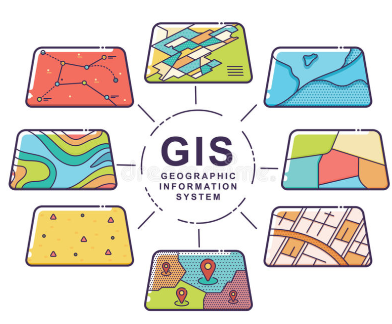
GSC has a group of young experts on Geographic Information System (GIS) as GIS specialists, GIS associates and GIS analysts.
services images

MASTER PLANNING AND SITE PLANNING

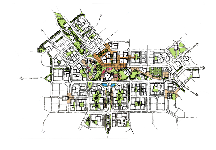
We give extra care in master planning and designing a layout for any area to ensure the integration between uses. All the related existing govt. laws and rules are followed in preparation of a layout plan.


OUR PARTNERS


GSC has a wide range of clients ranging from native small entrepreneurs to international organizations.


TESTIMONIALS