Contact our sales team for the latest BDT price, base/rover package options, and delivery timeline.
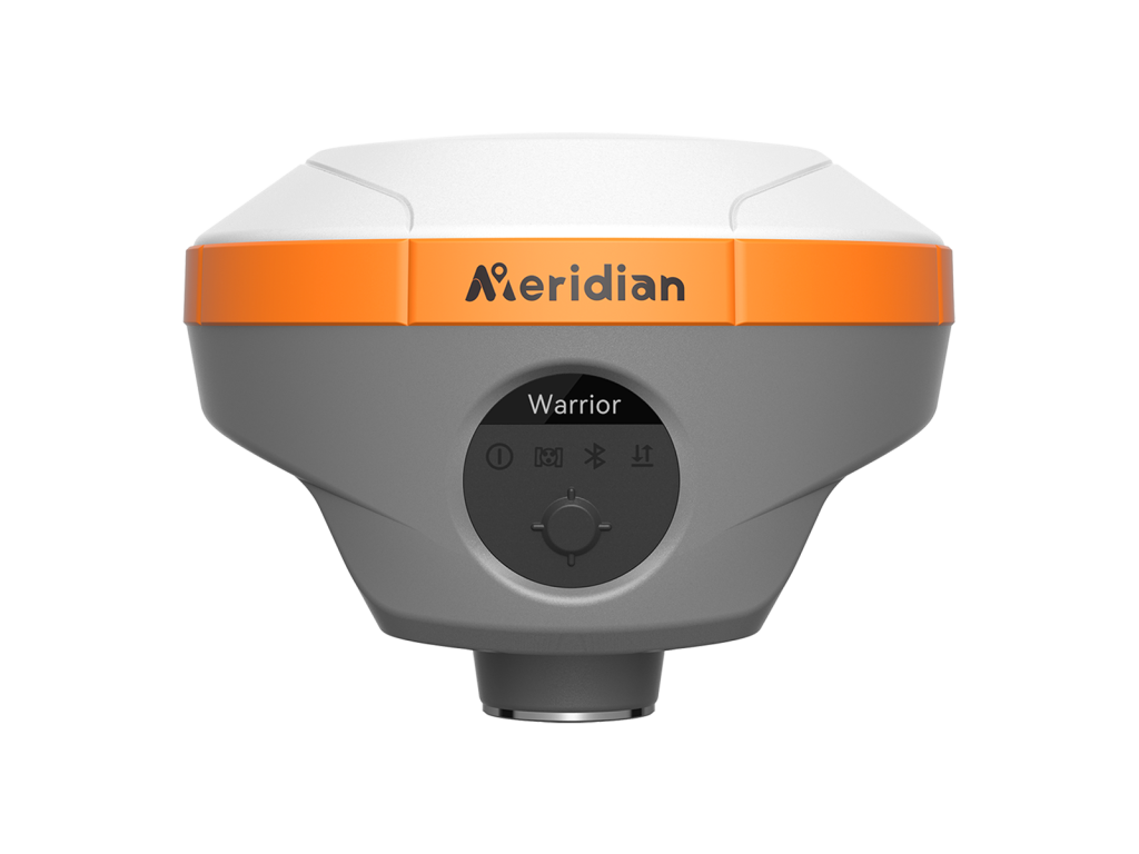
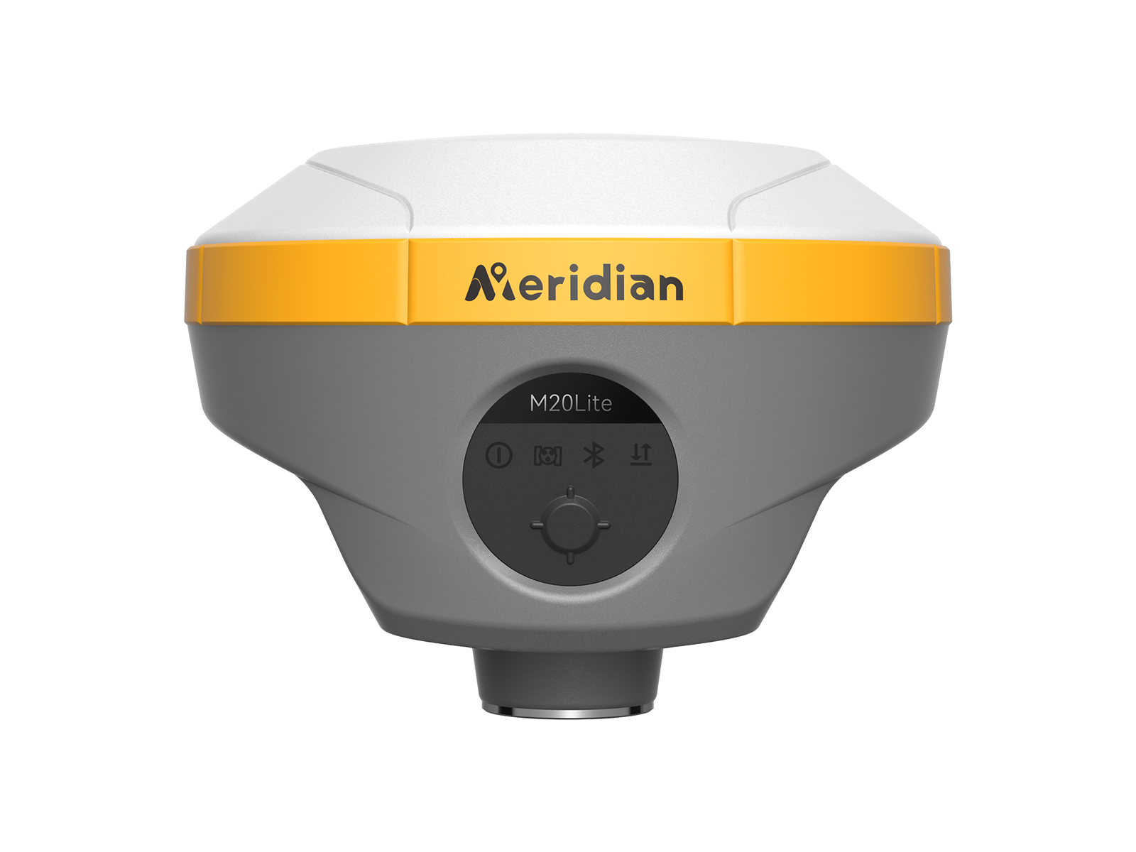
Meridian M20Lite GNSS RTK is an innovative solution that combines ad-vanced technology with lMU, and 4G integration. lt is calibration-free, significantly boosting operational efficiency. The compact and lightweight design makes M20Lite a feasible and portable choice for engineering personnel in surveying and improving positional accuracy.
Offers a longer working time of up to 26 hours, allowing users to work for an entire day, also ensures that data is saved safely and securely without the risk of losing important information due to a dead battery.
Highly equipped with 120° calibration-free lMU technology in a small body, M20Lite offers stability and high precision without the need for device calibration, extending the M20Lite's application range to locations that traditional RTK systems cannot reach, opening up new horizons for product applications.
Equipping the MeridianLink protocol internal radio offers15km working range and increases flexibility. By eliminatingthe need for an external radio, the M20Lite becomes more lightweight, less complex, and more portable, which can lead to increased efficiency and convenience in the field.
Supports BDS, GPS, GLONASS, Galileo, QZSS, and SBAS. Its 1408 channels offer comprehensive GNSS signal tracking capabilities.
| System | Linux |
| Channel | 1408 |
| BDS | B1I,B2I,B3I,B1C,B2a,B2b* |
| GPS | L1 C/A,L1C*,L2P(Y),L2C,L5 |
| GLONASS | L1,L2,L3* |
| GALILEO | E1,E5a,E5b,E6* |
| QZSS | L1C/A, L1C, L2C, L5, L6* |
| SBAS | L1, L5* |
| NavIC(IRNSS)* | L5 |
| L-band | B2b PPP (Only for the Asian-Pacific Region)& HAS* |
| Data Format | CMR, CMR+, RTCM2.X, RTCM3.X |
| Data Output | NMEA-0183, RINEX, TXT |
| Data Updating Rate | Up to 20Hz |
| Time to Recapture | <1s |
| Cold Start | <40s |
| Single Point Positioning (RMS) | Horizontal: 1.5m | Vertical: 3.0m |
| DGPS (RMS) | Horizontal: 0.4m | Vertical: 0.8m |
| Real-Time Kinematic (RMS) | Horizontal: ±(8mm+1×1ppm) |
| Speed Accuracy (RMS) | 0.03m/s |
| Static Accuracy (RMS) | Horizontal: ± (2.5mm+0.5ppm) |
| Time Accuracy (RMS) | 20ns |
| Speed Accuracy | ≥0.03m/s |
| Tilt Compensation Accuracy | ≤2cm(Tilt Angle≤60°, Up to 120°) |
| IMU Update Frequency | 200Hz |
| Bluetooth | V5.2 Dual Mode.2.4GHz@max 5dBm |
| WiFi | IEEE 802.11b/g/n @max 17dBm |
| Cellular | LTE FDD: B1/3/5/7/8/20 |
| Storage | Up to 64GB |
| Internal Radio | Transmitting Power: 2 W (33 dBm) |
| Specifications | 7.2V, 6600mAh lithium-ion Rechargeable Battery |
| Operating Times | RTK Rover: Up to 26 hours (Typical Power Consumption) |
| Charging | Support USB PD 15V/2A (Supports Quick Charging Adapter) |
| Operating Temperature | -40°C~+85°C |
| Storage Temperature | -55°C~+85°C |
| Anti-seismic | 2m Pole Drop Onto Concrete |
| Dust & Waterproof | IP68 |
| I/O Interface | 1× USB type-C port; 1 × SMA antenna port; 1× SIM card slot; 1 × 5 pin LEMO port |
| Dimensions | 119mm×119mm×76mm |
| Weight | 662g |
* Specifications may vary by configuration. Please confirm with our team before ordering.
Contact our technical survey engineers in Dhaka. We provide full warranty, local spare parts, and training for all equipment.