Contact our sales team for the latest BDT price, base/rover package options, and delivery timeline.
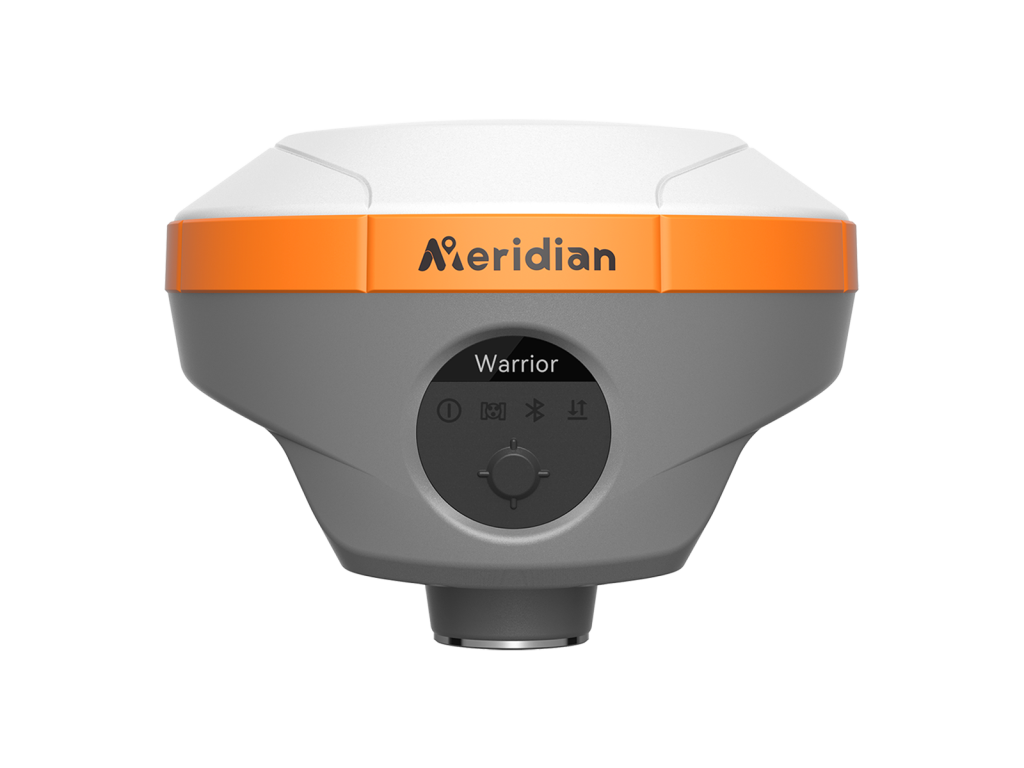
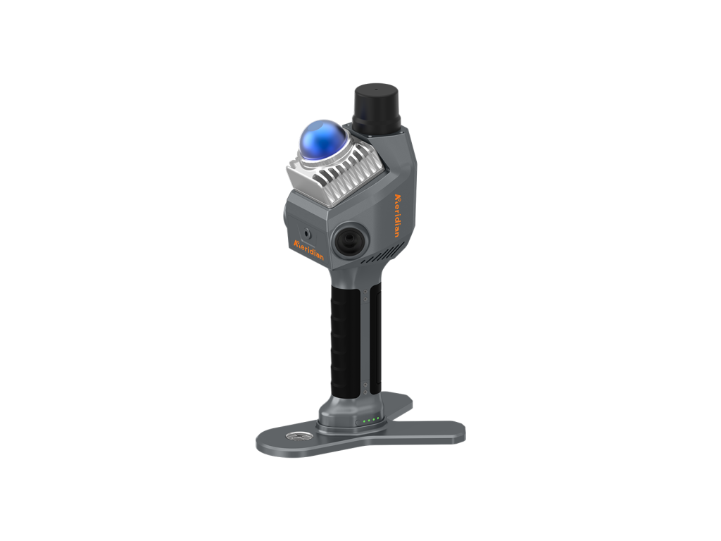
Meridian M20L Green Laser GNSS RTK is an innovative solution that combines advanced laser technology IMU, and 4G integration. It is calibration-free, significantly boosting operational efficiency and laser measuring makes the rodless survey improve efficiency and reduce risk factors. The M20L green laser receiver provides a new way to work in challenging & impossible& dangerous scenarios with high accuracy, including riverine stake-out, bridge pile surveying, elevation surveying, municipal surveying, outdoor & indoor combination surveying, and power station surveying, ect.
Laser technology offers unparalleled advantages in precision positioning and makes surveying work rodless and Easier. Combining cutting-edge 100m range laser technology with full constellation GNSS, IMU, and 4G integration, delivers calibration-free accuracy, significantly enhancing work efficiency and reducing potential risks.
Equipped with laser & 120° calibration-free IMU technology in a small body, it complements the laser's outstanding performance, extend- ing the M20L's application range to locations that traditional RTK systems cannot reach, opening up new horizons for product applica- tions, enhancing customer satisfaction and boosting operational effi- ciency.
With 7.4V 7000mah and the quick-charge capability, sup- ports you in working more than 26hours and greatly saves your time.
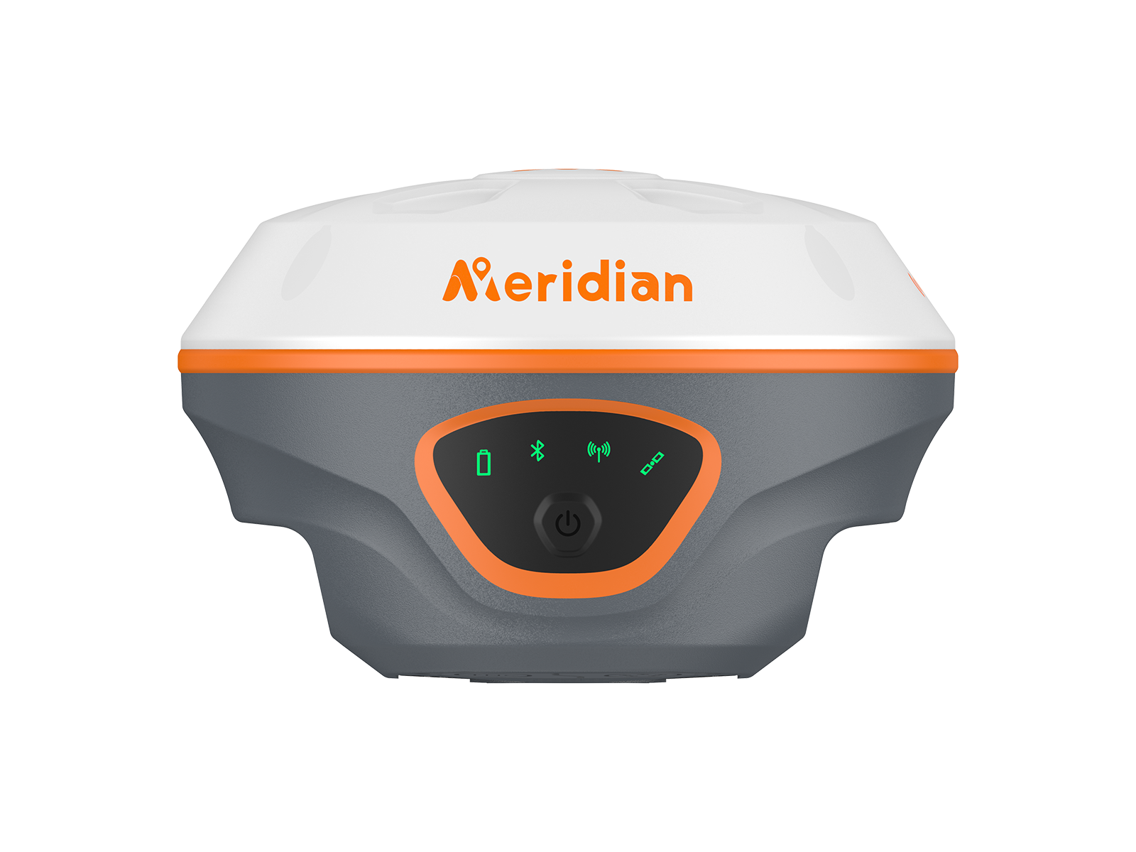
The palm-sized RTK (Real-Time Kinematic) system combines elegance with precision, offering a compact solution for accurate positioning on-the-go.
With 7.4V 7000mah and the quick-charge capability, supports you in working more than 26 hours and greatly saves your time.
It supports BDS, GPS, GLONASS, Galileo, QZSS, SBAS, and L-Band. Its 1760 channels offer comprehensive GNSS signal tracking capability.
| Channel | 1760 (1980 option) |
| BDS | B1I,B2I,B3I,B1C,B2a,B2b* |
| GPS | L1 C/A,L1C,L2P(Y),L2C,L5 |
| GLONASS | L1,L2,L3* |
| GALILEO | E1,E5a,E5b,E6* |
| QZSS | L1C/A, L1,L2, L5,L6* |
| SBAS | L1, L5* |
| NavIC(IRNSS)* | L5 |
| L-band | B2b PPP (Only for the Asian-Pacific Region)& HAS* |
| Data Format | CMR, CMR+, RTCM2.X, RTCM3.X |
| Data Output | NMEA-0183, RINEX, TXT |
| Data Updating Rate | Up to 20Hz |
| Time to Recapture | <1s |
| Cold Start | <40s |
| Single Point Positioning (RMS) | Horizontal: 1.5m | Vertical: 3.0m |
| DGPS (RMS) | Horizontal: 0.4m | Vertical: 0.8m |
| Real-Time Kinematic (RMS) | Horizontal: ±(8mm+1ppm) |
| Speed Accuracy (RMS) | 0.03m/s |
| Static Accuracy (RMS) | Horizontal: ± (2.5mm+0.5ppm) |
| Time Accuracy (RMS) | 20ns |
| Speed Accuracy | ≥0.03m/s |
| Tilt Compensation Accuracy | ≤2cm(Tilt Angle≤60°, Up to 120°) |
| IMU Update Frequency | 200Hz |
| Laser Accuracy (RMS) | Horizontal: ±(8mm+3mm/m) |
| Bluetooth | SPP3 0+BLE5 0 Dual Mode, 2.4 GHz @ +6 dBm |
| WiFi (option) | 802.11 a/b/g/n/ac |
| Cellular | LTE FDD: B1/2/3/4/5/7/8/12/13/18/19/20/25/26/28 |
| Storage | 32GB |
| Internal Radio | Transmitting Power: 2W(33±1dBm) 1W(30±1dBm) |
| Specifications | 7.4V,7000mAh lithium ion Rechargeable Battery |
| Operating Times | RTK base/rover mode: up to 20 hours, RTK laser/AR: up to 15 hours |
| Charging | Support USB PD 15V/2A (Supports Quick Charging Adapter) |
| Operating Temperature | -40°C~+85°C |
| Storage Temperature | -55°C~+85°C |
| Anti-seismic | 2m Pole Drop Onto Concrete |
| Dust & waterproof | IP68 |
| AR Camera | 12MP large viewing angle, for live view stakeout |
| I/O Interface | 1× USB type-C port; 1 × TNC antenna port; 1× SIM cardslot; 1 × 5 pin LEMO port |
| Dimensions | 125mm×125mm×79mm |
| Weight | ≤699g |
* Specifications may vary by configuration. Please confirm with our team before ordering.
Contact our technical survey engineers in Dhaka. We provide full warranty, local spare parts, and training for all equipment.