About Us
Good development can be envisaged as both process and result of well thought human activities directed for bringing about positive changes to the well-being of any society. Today, in the era of globalization, both individual and corporate private businesses along with initiatives and involvements of the public sector and international development organizations are taking pioneering role in the development pursuits of all developing nations. Bangladesh is not an exception in this regard. Different national development organizations are conducting different plans for both urban and rural areas. This calls for precise data and information acquisition from field level and precise mapping as well. Comprehending the requirement of quality service providing organization in this regard, “Global Survey Consultants (GSC)” has been established in the capital city of Bangladesh.
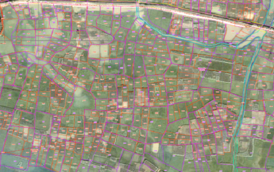
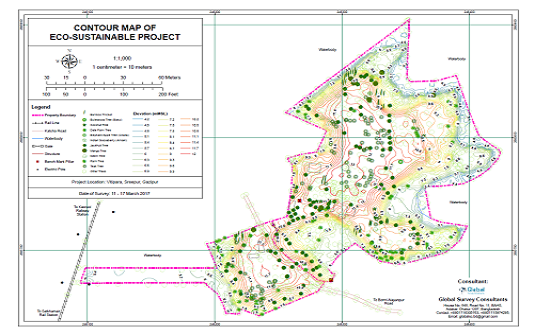
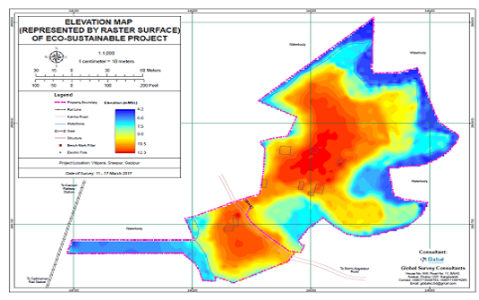
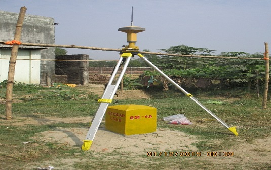
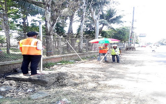
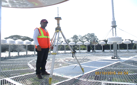
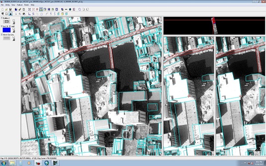
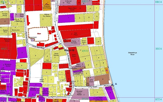
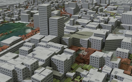
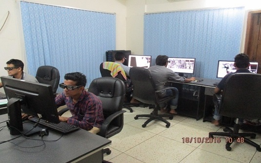
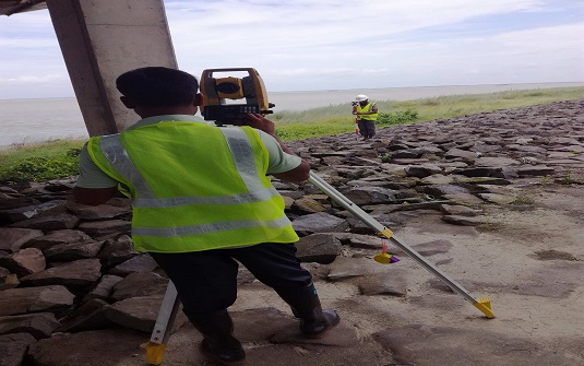
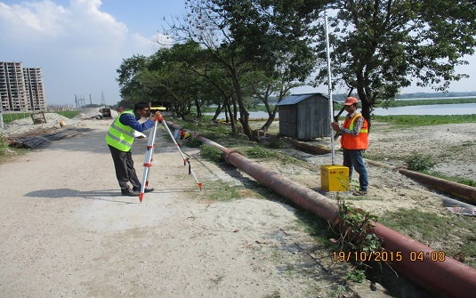
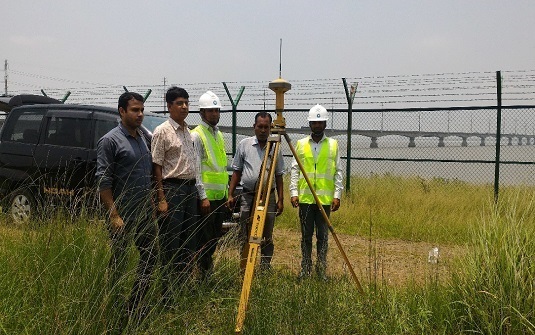
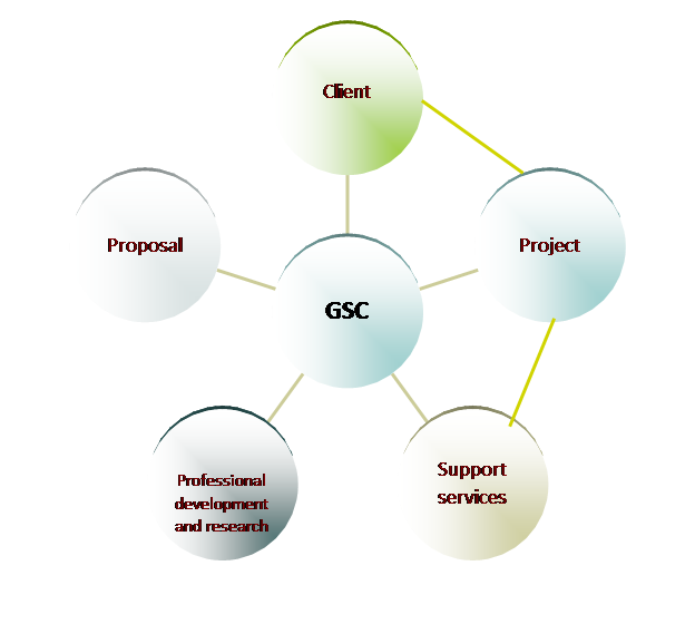
In this organization, we conduct different surveys using modern surveying equipment, prepare all types of GIS based maps, process GPS and satellite image, prepare plans in both urban and rural areas and carry out theoretical, empirical and action oriented research in various development and environment related issues.
This organization has a group of highly qualified professionals with sound academic and professional background who are utterly committed to provide quality services and also to work in challenging environment with greater responsibility and efficiency. Besides, this organization has a board of advisors to provide special advisory services.
This firm also conducts different works in collaboration with others firms of Bangladesh.

